
Maps for Garmin based on OpenStreetMap


Maps for Trucks
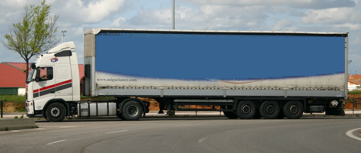
Maps in the following table are specially designed to be used in Trucks (of the type in the photograph below). They contain the same data than other maps in this web, but when a route is calculated, those roads that are not suitable for trucks are avoided. Roads may be discarded due to their physical properties (such as width, maximum height, etc.) or legal constrains (maximum permitted weight, etc.). Arrival time also considers maximum speeds permitted to trucks.
Please leave at the bottom of this page any comment or suggestion you think may contribute to improve these maps, so that they are more useful for all truck drivers. Your opinion is important.
Europe Africa America Asia Oceania +Maps
| Europe | ||||
|---|---|---|---|---|
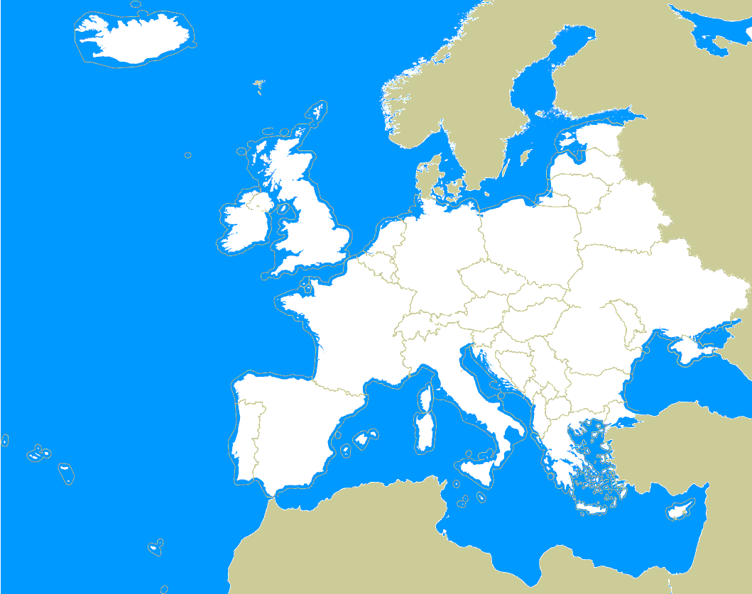
| Europe |
Download (Only available for registered Users). |
 |
||
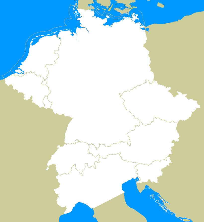
| Central Europe |
Download (Only available for registered Users). |
 |
||
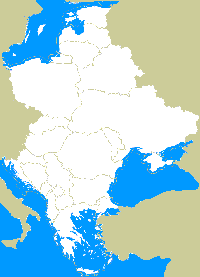
| Eastern Europe |
Download (Only available for registered Users). |
 |
||
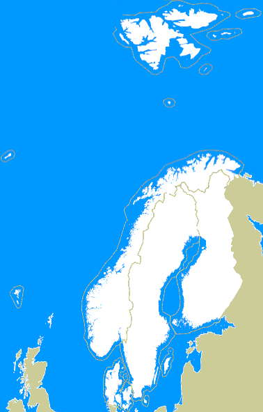
| Scandinavia |
Download (Only available for registered Users). |
 |
||
| Zone | Date of update | File for GPS / Android / QMapShack | File to install on BaseCamp / MapSource | Errors (**) |
| Austria | 30/03/26 | Download | Download | Download |
| Belgium | 30/03/26 | Download | Download | Download |
| British-Isles | 30/03/26 | Download | Download | Download |
| Czech Republic | 30/03/26 | Download | Download | Download |
| Finland | 30/03/26 | Download | Download | Download |
| France | 30/03/26 | Download | Download | Download |
| Germany | 30/03/26 | Download | Download | Download |
| Greece (Local Language-Unicode) | 30/03/26 | Download | Download | Download |
| Greece (Local Language-Non Unicode) | Download | Download | ||
| Greece (International) | Download | Download | ||
| Hungary | 30/03/26 | Download | Download | Download |
| Italy | 30/03/26 | Download | Download | Download |
| Netherlands | 30/03/26 | Download | Download | Download |
| Norway | 30/03/26 | Download | Download | Download |
| Peninsular Spain and Balearic Islands | 26/03/26 | Download | Download | Download |
| Poland | 30/03/26 | Download | Download | Download |
| Portugal | 30/03/26 | Download | Download | Download |
| Romania | 30/03/26 | Download | Download | Download |
| Sweden | 30/03/26 | Download | Download | Download |
| Switzerland | 30/03/26 | Download | Download | Download |
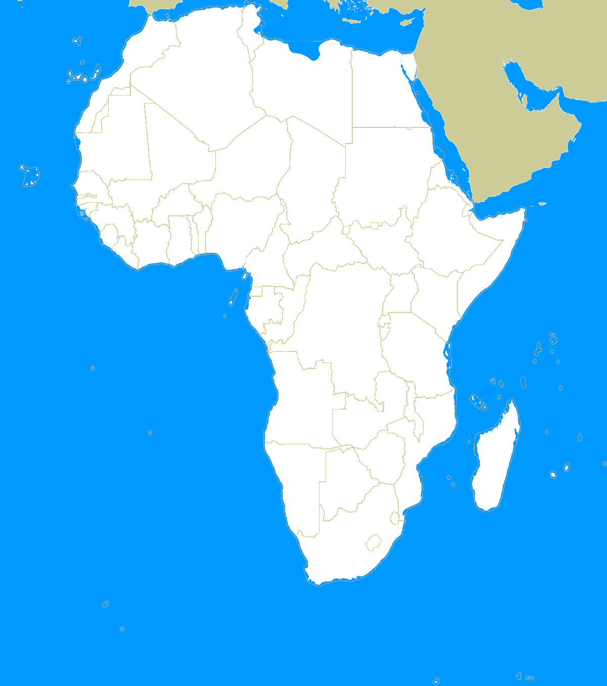
| Africa | ||||
|---|---|---|---|---|
| Africa |
Download (Only available for registered Users). |
 |
||
| Zone | Date of update | File for GPS / Android / QMapShack | File to install on BaseCamp / MapSource | Errors (**) |
| Canary Islands | 30/03/26 | Download | Download | Download |
| Lesotho | 30/03/26 | Download | Download | Download |
| Morocco (Local Language-Unicode) | 30/03/26 | Download | Download | Download |
| Morocco (Local Language-Non Unicode) | Download | Download | ||
| Morocco (International) | Download | Download | ||
| South Africa | 30/03/26 | Download | Download | Download |
| America | ||||
|---|---|---|---|---|
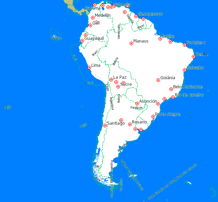
| South America |
Download (Only available for registered Users). |
 |
||
| Zone | Date of update | File for GPS / Android / QMapShack | File to install on BaseCamp / MapSource | Errors (**) |
| Argentina | 30/03/26 | Download | Download | Download |
| Brazil | 30/03/26 | Download | Download | Download |
| Canada |
Download (Only available for registered Users). |
|||
| Chile | 30/03/26 | Download | Download | Download |
| Colombia | 30/03/26 | Download | Download | Download |
| USA |
Download (Only available for registered Users). |
|||
| USA: Arizona | 30/03/26 | Download | Download | Download |
| USA: California | 30/03/26 | Download | Download | Download |
| USA: Idaho | 30/03/26 | Download | Download | Download |
| USA: Michigan | 30/03/26 | Download | Download | Download |
| USA: Texas | 30/03/26 | Download | Download | Download |
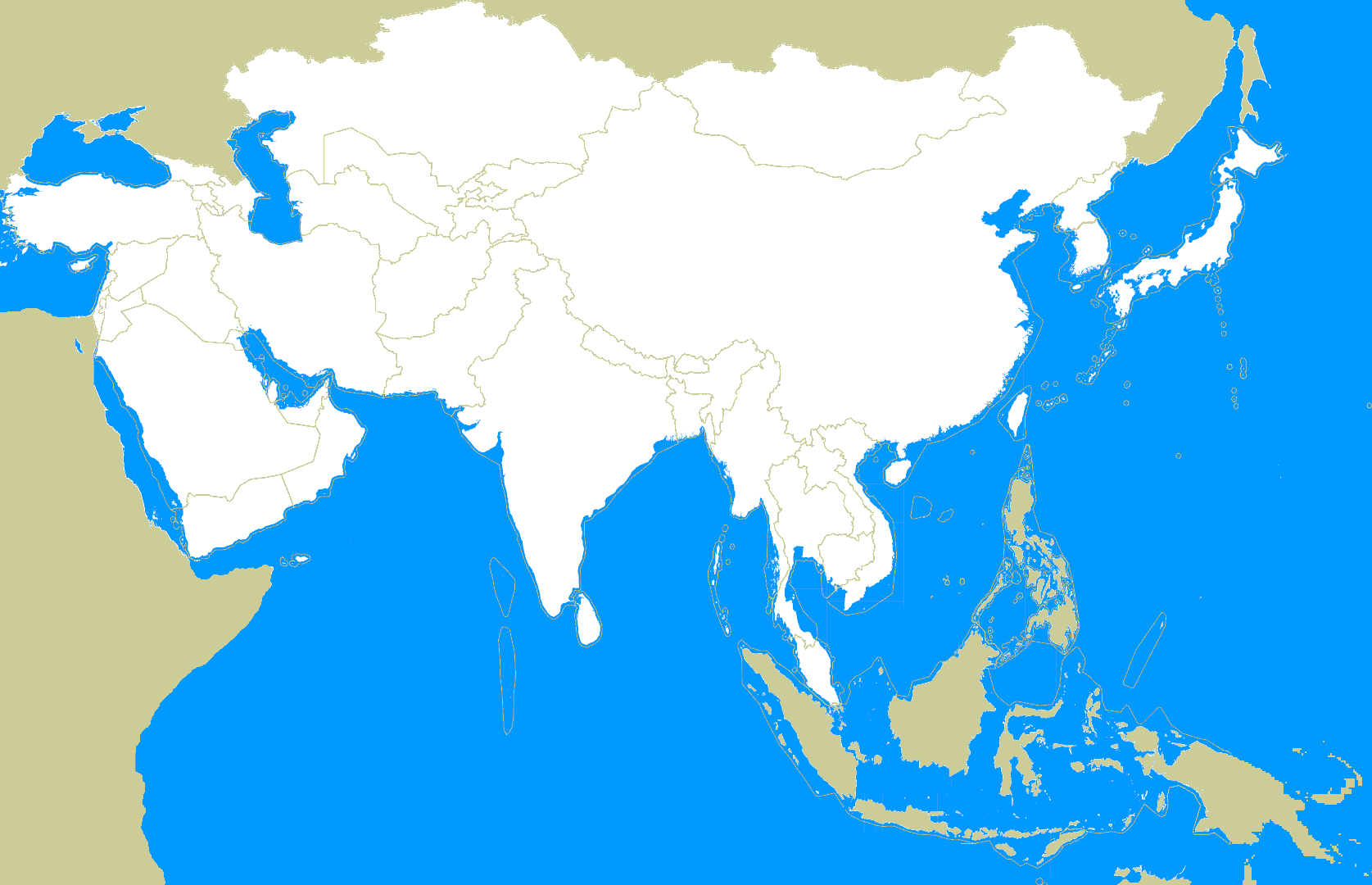
| Asia | ||||
|---|---|---|---|---|
| Asia |
Download (Only available for registered Users). |
 |
||
| Zone | Date of update | File for GPS / Android / QMapShack | File to install on BaseCamp / MapSource | Errors (**) |
| China (Local Language-Non Unicode) | 30/03/26 | Download | Download | Download |
| China (International) | Download | Download | ||
| Japan (Local Language-Non Unicode) | 30/03/26 | Download | Download | Download |
| Japan (International) | Download | Download | ||
| Russia |
Download (Only available for registered Users). |
|||
| Oceania | ||||
|---|---|---|---|---|
| Oceania |
Download (Only available for registered Users). |
 |
||
| Zone | Date of update | File for GPS / Android / QMapShack | File to install on BaseCamp / MapSource | Errors (**) |
| Australia | 30/03/26 | Download | Download | Download |
| New Zealand | 30/03/26 | Download | Download | Download |
(*) Due to the SD cards limit, it is not possible to have the whole Europe map in a single file. So it is necessary to install the map in the computer and then transfer to the GPS card those parts of Europe you are interested in (aproximately half of Europe will fit in a single file).
(**) 'Errors' column files contain a set of files with different kinds of errors in OpenStreetMap data detected during the map generation, along with links to download the data and fix them easily. More information can be found in the file README_errors included in the download.
You can leave your comments on this page below:
Add Comment
Insert Bullet List
Please enter at least one item.
Item:
Item:
Item:
Item:
Item:
Insert Numeric List
Please enter at least one item.
Item:
Item:
Item:
Item:
Item:
Insert Link
Please enter the link of the website
Optionally you can add display text
Insert Email
Please enter the email address
Optionally add any display text
Insert Image
Please enter the link of the image
Insert YouTube Video
Please enter the link of the video
Image Upload
Privacy Policy
This policy contains information about your privacy. By posting, you are declaring that you understand this policy:
- Your name, rating, website address, town, country, state and comment will be publicly displayed if entered.
- Aside from the data entered into these form fields, other stored data about your comment will include:
- Your IP address (not displayed)
- The time/date of your submission (displayed)
- Your email address will not be shared. It is collected for only two reasons:
- Administrative purposes, should a need to contact you arise.
- To inform you of new comments, should you subscribe to receive notifications.
- A cookie may be set on your computer. This is used to remember your inputs. It will expire by itself.
This policy is subject to change at any time and without notice.
Terms and Conditions
These terms and conditions contain rules about posting comments. By submitting a comment, you are declaring that you agree with these rules:
- Although the administrator will attempt to moderate comments, it is impossible for every comment to have been moderated at any given time.
- You acknowledge that all comments express the views and opinions of the original author and not those of the administrator.
- You agree not to post any material which is knowingly false, obscene, hateful, threatening, harassing or invasive of a person's privacy.
- The administrator has the right to edit, move or remove any comment for any reason and without notice.
Failure to comply with these rules may result in being banned from submitting further comments.
These terms and conditions are subject to change at any time and without notice.
{"commentics_url":"\/\/alternativaslibres.org\/comments\/","page_id":19,"enabled_country":true,"country_id":0,"enabled_state":false,"state_id":0,"enabled_upload":true,"maximum_upload_amount":3,"maximum_upload_size":5,"maximum_upload_total":5,"captcha":false,"captcha_url":"","cmtx_wait_for_comment":"cmtx_wait_for_comment","lang_error_file_num":"A maximum of %d files are allowed to be uploaded","lang_error_file_size":"Please upload files no bigger than %.1f MB in size","lang_error_file_total":"The total size of all files must be less than %.1f MB","lang_error_file_type":"Only image file types are allowed to be uploaded","lang_text_loading":"Loading ..","lang_placeholder_country":"Country","lang_placeholder_state":"State","lang_text_country_first":"Please select a country first","lang_button_submit":"Add Comment","lang_button_preview":"Preview","lang_button_remove":"Remove","lang_button_processing":"Please Wait.."}
{"commentics_url":"\/\/alternativaslibres.org\/comments\/","language":"english"}
Copyright © 2009-2020 alternativaslibres.org.
Some rights reserved. Linking this page using an URL other than the original is not permitted.
Comments (1)
As truck require large parking areas it would be usefull to show these. At present in OSM there are 2 ways of doing this - hgv=yes/designated and capacity:hgv=yes/number.
I already use hgv=yes to distinguish truck parkings (see legend page to see how they render), but I'll add hgv:designeted. Also hgv=no parkings are removed from the map to avoid leading you to them. I'll have a look to hgv:capacity to see if it can be used too.
Thanks for your suggestions.