Maps for Garmin based on OpenStreetMap


High Resolution Contour Lines
For Spain and New Zealand high resolution contour lines are offered. They are more accurate than those made with data from the Shuttle Radar Topography Mission (SRTM) of the NASA or from Jonathan de Ferranti (www.viewfinderpanoramas.org).
These contourlines have been generated from data published by the National Geographic Institute of Spain and Land Information New Zealand.
To install them in the computer you just have to run the auto-installable file provided with the download. Linux (without wine) or Mac OS X users will need to uncompress the file with 7zip, prior to install it (in QLandkarte GT for example).
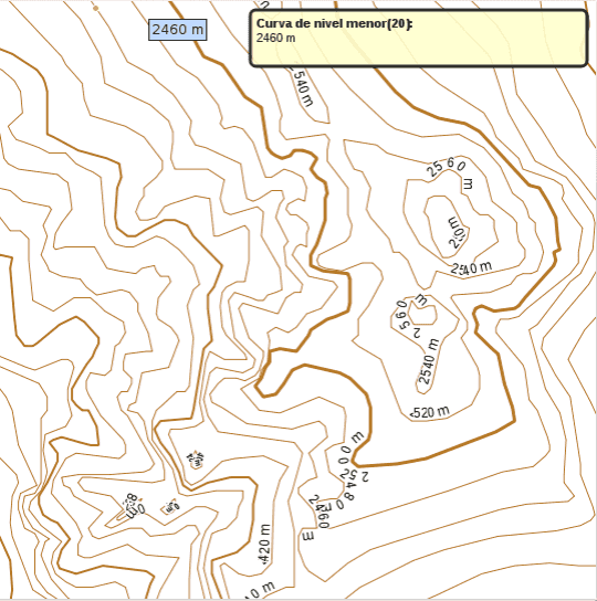
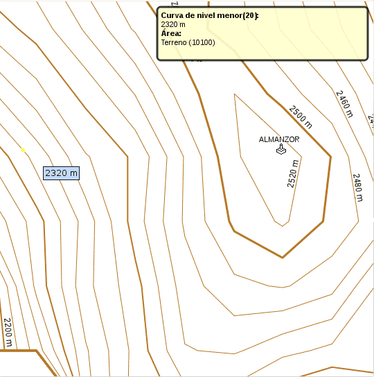
Comparison between IGN and SRTM contour lines, for the same area (Almanzor peak in Sierra de Gredos, Spain):
|
|
|