
Maps for Garmin based on OpenStreetMap


Maps with Digital Elevation Model (DEM)
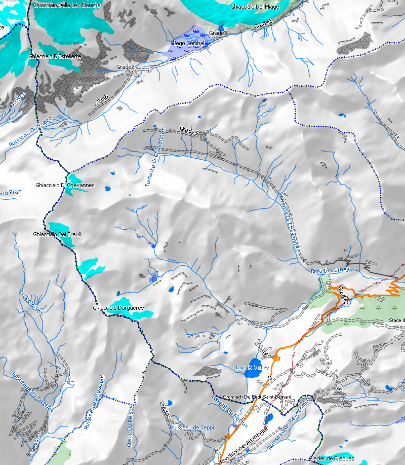
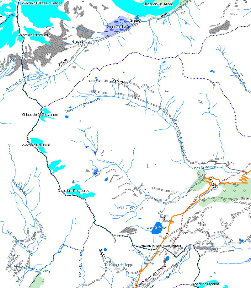
Information: a Digital Elevation Model is a file which contains information about land height in each point of the map. Garmin maps format can include a DEM, so that a hill shading like in the image below can be shown.
|
|
|
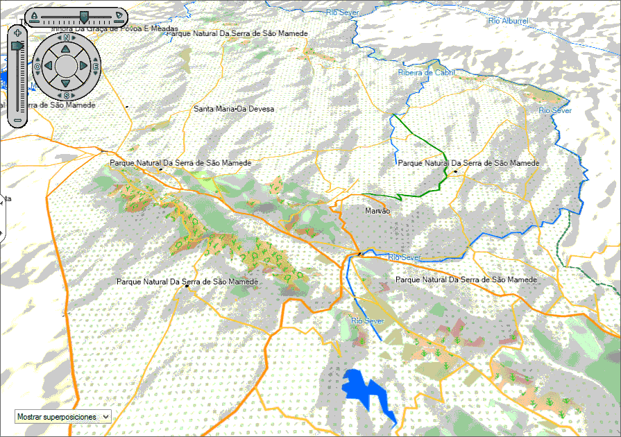
It is also possible with a DEM to see maps in 3D on BaseCamp and devices with such option (Oregon 600 for example).
|
|
|
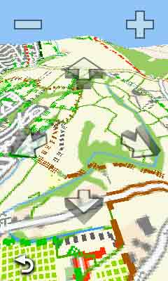
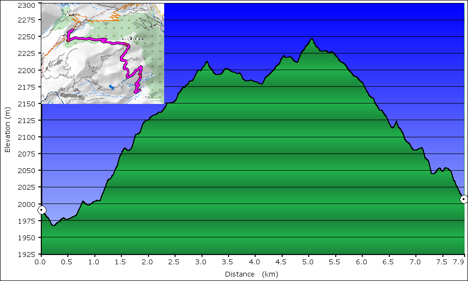
Additionally, maps with DEM are able to calculate vertical profil of routes created in a computer or in a GPS device (if the model has such capability).
If you have any comment about maps with DEM downloaded from this site, you can write it below:
Comments (15)
Topic: DEM_en
Sort

 Reply
Reply Permalink
 Flag
Flag 0
0 0
0


Hi
How can I get Russia topo and DEM map?
I am looking for a source of soviet union like Russia and Kyrgyzstan . Thank you for your contribution and this site is very helpful. I am a bit of a knowledge about it and my computer skill is low . I wish I could be helpful to this.
thanks
How can I get Russia topo and DEM map?
I am looking for a source of soviet union like Russia and Kyrgyzstan . Thank you for your contribution and this site is very helpful. I am a bit of a knowledge about it and my computer skill is low . I wish I could be helpful to this.
thanks
Admin:
Russia map is available for registered user only, but it doesn't include DEM version. If you want to build it yourself, you need to use splitter and mkgmap, two java programs that work together to get it.
29th October 2018 4:58am

Admin:
DEM maps require some extra processing time and current server has all day time occupied generating maps, so at this moment I can't add China DEM. I'm currently migrating to a new server which will presumably save some processing time, then I'll have a chance to add new tasks. But it will take some time (weeks), I can't give you a date.
26th August 2018 12:39pm

Page 3 of 3
The program install show me:c:\ProgramData\Garmin\Maps\OpenStreetMapItalyDEM.gmapI don't change the directory buto after the installation in this directory I'can't find anything.
Thank you for the answer that you will give me.
Ciao